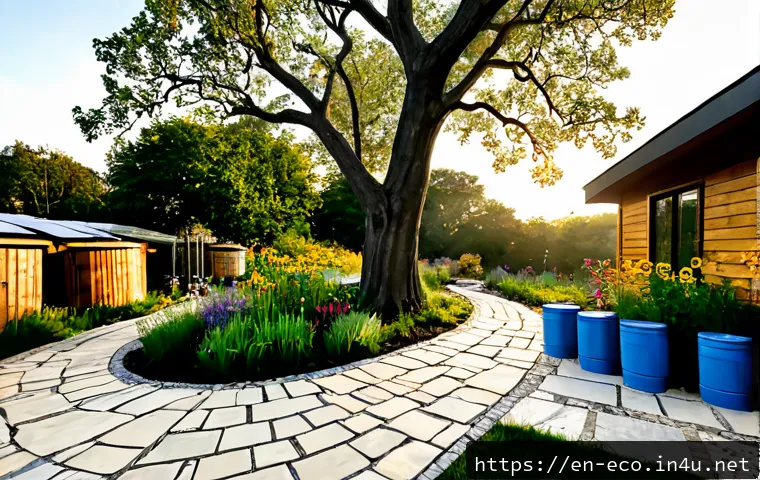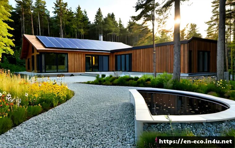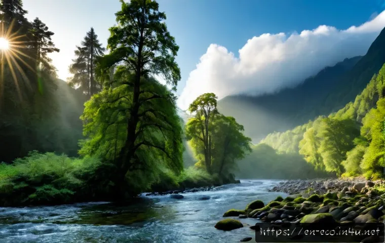
Water moves through ecosystems as it evaporates, passes through plants, condenses, falls as precipitation, soaks into soil, flows as runoff, or is stored in wetlands and surface waters.
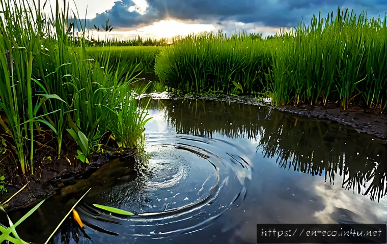
The land beneath rainfall strongly affects which path water takes. Forest soil, wetlands, plant cover, slope, and pavement can all change how quickly water infiltrates or moves downstream.
This is why the same storm may create little visible runoff in one place and rapid puddling or flow in another. For students and landowners, simple observation can explain the connections before investing in rainwater monitoring tools or restoration support.
Larger drainage or erosion concerns may require site-specific information and qualified local advice.
At a Glance
- After rainfall, water may soak into soil, become runoff, enter surface water, or return to the atmosphere through evaporation and plant transpiration.
- Vegetated land and healthy soil generally allow more infiltration than compacted ground or pavement.
- Wetlands, forests, soil, groundwater, streams, and the atmosphere are connected parts of one local water cycle.
| Land Surface | Infiltration and Runoff Pattern | Maintenance Focus | Potential Improvement Options |
|---|---|---|---|
| Forest soil | Plant cover and soil conditions can help water soak in and can reduce raindrop impact on soil. | Protect vegetation and avoid unnecessary soil disturbance. | Maintain plant cover and observe drainage paths. |
| Lawn or planted ground | Water movement depends on soil structure, slope, plant cover, and compaction. | Watch for compacted areas, bare patches, and repeated puddling. | Support soil cover with suitable vegetation or mulch where appropriate. |
| Compacted or bare ground | Water may infiltrate more slowly and move across the surface more quickly. | Check for erosion, runoff channels, and loss of soil cover. | Restore plant cover and consider site-specific soil or drainage guidance. |
| Pavement and other impermeable surfaces | Surface runoff generally increases compared with permeable, vegetated land. | Keep drainage routes clear and note where water is directed. | Consider permeable surfaces or planted features only after checking site conditions. |
The Short Answer: How Water Travels Through Living Landscapes
Water changes form and location, but remains connected across air, soil, plants, and waterways
The water cycle is easier to understand when it is viewed as a connected ecosystem process rather than a list of separate stages. Solar energy drives evaporation from oceans, lakes, rivers, soil, and other wet surfaces. Plants also release water vapor through transpiration, linking vegetation directly to atmospheric moisture.
When water returns as precipitation, it does not enter only one pathway. Some may infiltrate soil, some may replenish groundwater, some may move downhill as runoff, and some may remain stored temporarily in wetlands, ponds, streams, or other surface waters. These paths can overlap over time. Water stored in soil can later support plants, water in a wetland can slowly move onward, and surface water can evaporate again.
Why the same rainfall creates different results in a forest, field, wetland, or city block
Rainfall does not produce the same result everywhere because land cover shapes the local water cycle. Soil structure, plant cover, slope, and impermeable surfaces influence how quickly water enters the ground or travels across it. A forested area with healthy vegetation may slow raindrop impact and help water soak into the ground. A paved block or compacted area is more likely to send water along the surface.
This does not mean one observation can predict an entire watershed. Local rainfall, soil, drainage routes, and land use all matter. Still, comparing nearby surfaces after rain is a practical way to see ecosystem water movement in action.
The Main Pathways Water Takes After Rainfall
Evaporation and transpiration: water returning to the atmosphere
Evaporation occurs when solar energy moves water from wet surfaces into the air as water vapor. Transpiration is the water vapor released by plants. Together, these processes show why vegetation is not simply “on” the landscape; it is part of the exchange between land and atmosphere.
For a classroom or garden observation, look for the difference between exposed wet ground, shaded soil, open water, and planted areas. The goal is not to calculate an exact water balance without local data. It is to recognize that moisture can leave the land as well as flow through it.
Infiltration, groundwater recharge, and soil storage
Infiltration is water entering the soil. Once below the surface, water may be held in soil, used by plants, move deeper toward groundwater, or travel through subsurface pathways. Soil is therefore a temporary storage space, not merely a layer that water passes through.
Do not assume that every wet area produces the same groundwater recharge. The rate and outcome depend on local rainfall, soil conditions, drainage, and land use. A simple soil-moisture tool may help document changes in a garden or teaching area, but it cannot replace a property-specific assessment where drainage problems are significant.
Runoff, streams, rivers, and downstream habitats
Runoff is water moving over land toward lower areas, ditches, streams, rivers, wetlands, or other surface waters. Runoff is not separate from the water cycle; it is one of its visible pathways. Fast-moving runoff can carry soil when plant cover is limited or ground is exposed.
Forests and healthy vegetation can reduce erosion by protecting soil from raindrop impact and helping water soak into the ground. Wetlands can slow water movement, store water temporarily, and support filtration processes. Looking downstream helps explain why an uphill surface choice can affect a habitat farther away.
Comparing Land Surfaces: Infiltration, Runoff, and Ecosystem Value
Forests, grasslands, wetlands, and healthy soils
Vegetated landscapes often provide several water-cycle functions at once. Plant cover protects soil, roots help maintain living soil systems, and vegetation contributes to transpiration. Wetlands add temporary water storage and can slow water movement while supporting filtration processes.
These functions are not a promise that every planted area will solve a drainage issue. Slope, soil condition, rainfall, and surrounding hard surfaces still matter. The useful question is: Where does water pause, soak in, or leave the site?
Compacted soil, bare ground, and paved surfaces
Compacted ground and pavement generally increase surface runoff compared with permeable, vegetated land. Bare soil also has less protection from raindrop impact. When water moves rapidly across a slope or concentrates in a narrow path, erosion can become a visible concern.
A common mistake is treating puddles as automatic proof of failure. Standing water may reflect a local low point, slow infiltration, a drainage route, or recent rainfall. Record what happens over repeated observations before drawing conclusions or selecting a rain garden, wetland feature, or drainage solution.
Comparison table: water movement, erosion risk, maintenance needs, and improvement options
The table above is a screening tool, not a site design. Use it to compare surfaces and identify questions for watershed education resources, rainwater monitoring tools, or qualified landscaping services. A larger property, recurring drainage issue, or visible soil loss calls for closer local evaluation.
Practical Observation Steps and Common Mistakes
A simple rainfall-to-runoff observation method for schools, gardens, or local parks
Choose a safe area with two or more different surfaces, such as planted soil, turf, a compacted path, and pavement. After rainfall, observe where water first appears, where it collects, and which direction it travels. Repeat the same observations after different rain events if possible.
A basic rain gauge can help record precipitation for an education project. Pair it with a written observation sheet rather than relying on a single impression. This creates a clearer connection between rainfall, ground conditions, and visible runoff.
What to record: rainfall, puddling, slope, plant cover, and drainage paths
Record the presence of rainfall, the location and duration of puddling, apparent slope, plant cover, bare soil, compacted areas, and visible drainage paths. Note whether water enters planted ground, follows a paved edge, or moves toward a ditch, stream, or low area.

For home gardens, a simple soil-moisture tool may be useful when the aim is to compare conditions before and after rain. Select tools based on the area you need to observe, how often you will use them, and whether you need basic learning data or more detailed records.
Mistakes to avoid when interpreting standing water or fast runoff
Do not treat runoff, groundwater, and stored water as separate systems. Water may move from one pathway to another over time. Also avoid choosing an improvement based only on a photo, one storm, or a neighboring property. Local conditions can differ even across a short distance.
It is also important not to assume that a rain garden, wetland feature, or drainage change is appropriate everywhere. Local rules, drainage conditions, site layout, maintenance capacity, and project scope should be checked before work begins.
When Land Management Can Improve the Local Water Cycle
Native vegetation, mulching, permeable surfaces, and rain gardens
Land management may support healthier water movement by maintaining plant cover, reducing bare soil, and using permeable or planted features where they fit the site. Native vegetation may be considered where it suits local conditions and maintenance plans. Mulch can help keep soil covered, while permeable surfaces may reduce the dominance of hard, runoff-producing areas.
Rain gardens and similar planted drainage features should be treated as location-specific options, not universal fixes. Their suitability depends on local soil, drainage, rainfall, land use, and regulations.
When basic monitoring tools are enough
Basic observation tools are often enough for classroom learning, a small garden, or early exploration of a local runoff pattern. A rain gauge, simple soil-moisture tool, notebook, and site sketch can help connect rainfall with what happens on the ground.
Use these tools to ask better questions, not to make guarantees about groundwater recharge, flood risk, or water quality. Those outcomes require local data and may need more specialized assessment.
When drainage, erosion, or restoration work may need a qualified local assessment
Consider qualified watershed, drainage, or landscaping support when water repeatedly follows damaging paths, soil loss is visible, or a larger restoration project is being considered. A local assessment can examine conditions that cannot be confirmed from general guidance, including drainage routes, soil, rainfall patterns, land use, permits, maintenance requirements, and project scope.
Before selecting a restoration service, ask what site information will be reviewed and what ongoing maintenance may be needed. Clear answers are more useful than broad promises about performance.
Choosing Monitoring and Restoration Options: A Decision Summary
Best fit for classroom learning, home gardens, community spaces, and larger properties
For a classroom, start with a rain gauge, site sketch, and repeated observations. For a home garden, add a soil-moisture tool if comparing planted and compacted areas would help guide routine care. Community spaces may benefit from shared observation records and a review of drainage paths. Larger properties or recurring erosion concerns may justify qualified watershed or landscaping services.
Selection criteria: site size, drainage problem, budget range, maintenance capacity, and local rules
Use these checks before purchasing monitoring equipment or pursuing habitat restoration support:
- Purpose: Is the goal education, garden observation, runoff reduction, erosion review, or a larger land-management project?
- Site conditions: Where does water collect, infiltrate, or leave the area?
- Scale: Is this a small bed, a schoolyard section, a community space, or a larger property?
- Maintenance capacity: Can vegetation, mulch, drainage routes, or monitoring records be maintained over time?
- Local requirements: Have applicable rules and site conditions been checked before changing drainage or installing a feature?
Questions to ask before purchasing equipment or hiring land-management support
Ask whether a tool measures the condition you actually need to observe, whether it is practical for repeated use, and how records will guide a decision. When considering professional support, ask what local data will be reviewed, whether drainage and erosion pathways will be assessed, and what maintenance the proposed work may require.
For product specifications, service scope, and current conditions, check the official details on the relevant provider’s page before choosing.
Closing Thoughts
Water in an ecosystem is always moving between air, plants, soil, groundwater, wetlands, and surface waters. Land cover helps determine whether rainfall is slowed, stored, absorbed, or sent quickly downhill. Simple observation is a strong starting point for learning. For site changes with drainage, erosion, or restoration implications, local conditions should guide the final decision.
Useful Information to Keep in Mind
Rain gauges help connect observed rainfall with runoff patterns. Soil-moisture tools can support simple garden or education comparisons. Native plants and other vegetation choices should fit the local site and maintenance plan. Wetlands are valuable because they can temporarily store water and slow its movement.
Important Considerations
General water-cycle information cannot determine the exact flood risk, groundwater recharge rate, water-quality outcome, or restoration performance for a specific site. Costs, permits, maintenance needs, and suitable designs vary by location and project scope. Check local regulations and site conditions before installing a rain garden, changing drainage, or beginning wetland-related work.
Frequently Asked Questions
Q1. What is the easiest way to explain the water cycle in an ecosystem?
A1. Explain it as a connected journey: water evaporates from wet surfaces, plants release water vapor through transpiration, precipitation returns water to land, and that water may soak into soil, enter groundwater, flow as runoff, or remain stored in wetlands and surface waters.
Q2. Why do wetlands and forests reduce runoff better than paved areas?
A2. Wetlands can slow water movement and store water temporarily, while forests and healthy vegetation protect soil and help water soak into the ground. Pavement is impermeable, so it generally increases surface runoff compared with permeable, vegetated land.
Q3. When is it worth paying for a drainage or watershed assessment?
A3. A qualified local assessment may be useful when drainage repeatedly causes problems, visible erosion is occurring, or a larger restoration project is being considered. Exact conditions and suitable solutions depend on local rainfall, soil, drainage, land use, regulations, and project scope.